


The space constellation being created is gaining momentum
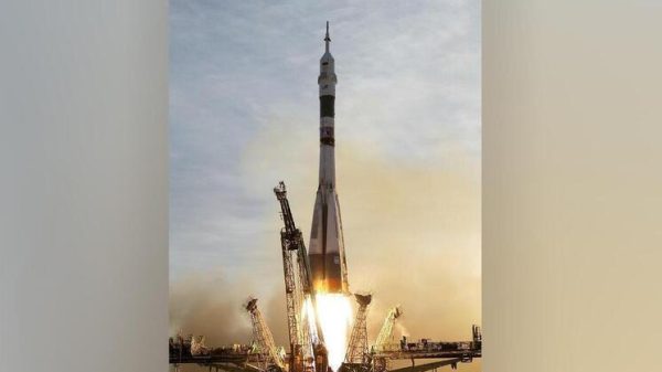
The first image of the Earth was sent by the hydrometeorological spacecraft «Arktika-M» No. 2. With it, Russia has provided itself with round-the-clock visibility of the northern territories.
 That very first photograph of the Earth from Arktika-M No. 2. It captures Monday evening, illuminating western Europe, part of Africa and North America. Photo courtesy of RKS.
The spacecraft developed at the NPO named after. S.A. Lavochkin (part of the Roscosmos State Corporation), was launched from the Baikonur Cosmodrome on December 16, 2023. It became the second satellite of the highly elliptical Arctic constellation (the first Arktika-M was launched into the target orbit in February 2021).
One of the most important devices installed on the Arktika-M series satellites is multispectral scanning devices for hydrometeorological support. It is they who conduct continuous photography of the Earth’s surface with a frequency of 15 to 30 minutes in ten spectral ranges, seven of which – infrared. The spatial resolution of the images ranges from 1 to 4 km, and the accuracy of measuring the temperature of the underlying surface of the planet reaches 0.1-0.2 degrees Celsius.
The satellites are in the working highly elliptical Molniya orbit. with an inclination to the equator of 63.3 degrees. The apogee height of the second «Arktika-M» – approximately 38,900 km, and perigee – 1,400 km.
Two spacecraft «Arktika-M» will alternately replace each other in working areas of the orbits and provide continuous round-the-clock coverage of the northern territory of Russia. In addition, the tasks of their operators include obtaining heliogeophysical information, relaying information from ground-based platforms for collecting meteorological data, as well as transmitting signals to rescue services about the location of ships and aircraft in distress in the interests of the international search and rescue system COSPAS-SARSAT.
As Roscosmos previously reported, four more Arctic satellites will be launched into space by 2031.
According to the chief designer of the direction at RKS, Yuri Gektin, data received from satellites is used by various divisions of Roshydromet and other departments to increase the reliability of long-term and short-term weather forecasts, they help track emergencies, conduct environmental monitoring, and provide scientists with a large amount of new data for studying climate.


Свежие комментарии