Antarctic waters fill all the basins east of the United States and cool the Gulf Stream
The deep-water Atlantic Vidal Channel (from the English Vidal) was first explored by members of the 94th expedition of the research vessel Akademik Mstislav Keldysh» from the Institute of Oceanology named after. P.P. Shirshov RAS. They returned to the port of Kaliningrad on February 25 after almost 3 months in the Atlantic Ocean.
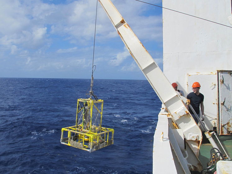 Photo courtesy of Evgeny Morozov
The deep-water Vidal Channel is a channel laid along the bottom of the Atlantic over millions of years by flows of cold water from Antarctica. Its length is 800 kilometers, width — 3 km, depth 100-200 meters.
Part of the Antarctic water falls into the Vima tectonic fault adjacent to Vidal, which has a greater width and depth.
The canal was known to scientists before, but hydrological studies of Vidal were not carried out. The Russian expedition of the Institute of Oceanology of the Russian Academy of Sciences was the first to do this.
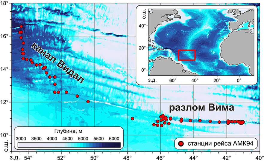 Photo courtesy of Evgeny Morozov
“Nobody knew what was happening there at a depth of three to four kilometers,” explains the head of the 94th expedition of the R/V Academician Mstislav Keldysh, Doctor of Physical and Mathematical Sciences Evgeniy Morozov. – The Vidal Channel is located north of Brazil and east of the Antilles. Cold water flows through it, filling all the deep-sea basins east of the United States. Then there is an exchange — the Gulf Stream carries warm water from Florida, from the Gulf of Mexico, and the cold Vidal water rises up, heats up and then mixes with the Gulf Stream.
– Yes, but how much has not yet been calculated. To do this, we will need to create mathematical models in which we will include the data obtained during the expedition.
After Vidal's hydrological studies, work continued in the Vima fault and ended with the study of the North Equatorial Current. Scientists have installed 125 sounding stations, of which 78 are deep-sea (at depths of more than 5,000 meters).
In addition to measuring temperature, salinity and current speed in the study areas, oceanologists analyzed dissolved oxygen, silicate and nitrate content, acid-base balance, performed measurements necessary to determine optical parameters and chlorophyll content, and determined current speeds.
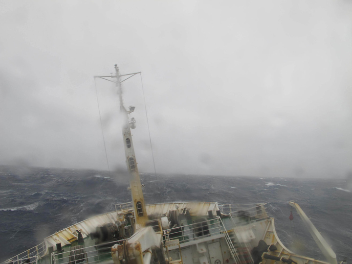 Photo courtesy of Evgeny Morozov
The results obtained will be very useful to researchers when compiling global models of the world ocean circulation and to forecast climate change.
In addition to the Institute of Oceanology, staff from the Pacific Oceanological Institute of the Far Eastern Branch of the Russian Academy of Sciences and the Institute of Hydrodynamics of the Siberian Branch of the Russian Academy of Sciences took part in the voyage.








Свежие комментарии