Scary scenarios simulated
The snow-capped peak of Mount Rainier, rising 4.3 kilometers above sea level in the US state of Washington, has not erupted for the last 1,000 years. But it is this mountain that worries scientists more than the seething lava fields of Hawaii or the Yellowstone supervolcano.
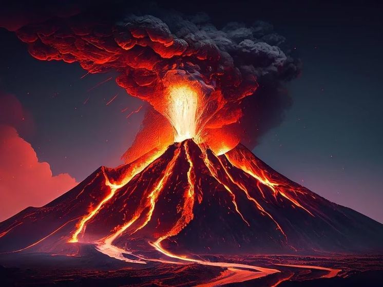
“Mount Rainier keeps me up at night because it poses a huge threat to surrounding communities. Tacoma and South Seattle are built on 100-foot-thick ancient debris flows from the eruptions of Mount Rainier,” volcanologist Jess Phoenix noted in an episode of the CNN original series “Cruel Earth with Liev Schreiber.”
The sleeping giant's destructive potential does not lie in its fiery lava flows, which if it erupts are unlikely to spread more than a few miles beyond Mount Rainier National Park in the Pacific Northwest. According to the US Geological Survey, most of the volcanic ash will likely disperse downwind to the east, away from populated areas.
Instead, many scientists fear the prospect of a lahar — a fast-moving debris flow of a mixture of rapidly melting -for the eruption of ice and snow, which collects literally everything in its path.
“What makes Mount Rainier tough is that it is very high and covered in ice and snow. Therefore, if any eruption occurs, the hot substances will melt the cold ones, and a lot of water will begin to flow down. There are tens, if not hundreds of thousands of people who live in areas that could potentially be affected by a large lahar, and this could happen quite quickly,” said Seth Moran, a research seismologist at the USGS Cascades Volcano Observatory in Vancouver, Washington.< /p>
The deadliest lahar in recent memory occurred in November 1985, when the Colombian volcano Nevado del Ruiz erupted. Just a couple of hours after the eruption began, a river of mud, rocks, lava and icy water rushed through the city of Armero, killing more than 23 thousand people in a matter of minutes.
Volcanologist and professor of earth and environmental sciences at Columbia University Bradley Pitcher warned that Mount Rainier had about eight times more glaciers and snow than Nevado del Ruiz at the time of the eruption: «There is the potential for a much more catastrophic debris flow.»
In the USGS's most recent threat assessment in 2018, the federal agency ranked Kilauea in Hawaii as the most dangerous volcano in the United States, which is not surprising given how many people live near it and how often it erupts. Mount St. Helens, whose catastrophic eruption occurred in May 1980, ranked second in danger, followed by Mount Rainier in third place.
Lahars usually occur during volcanic eruptions, but can also be caused by landslides and earthquakes. Moran said geologists have found evidence that at least 11 large lahars from Mount Rainier over the past 6,000 years reached the adjacent area known as the Puget Plains.
Scientists have not linked the most recent of these lahars, which occurred around 500 years ago, with some volcanic activity. Researchers believe the flood may have been caused by a large landslide on the western slope of the mountain.
The area remains loose, weak rock, and it is the threat of such a spontaneous lahar caused by a landslide that particularly worries Moran and other volcanologists.
“We now know that the volcano has the potential to do this again. This can happen at any time. If it were the same size, then the nearest places of residence would be 10 minutes, and the nearest large populated areas would be 60 minutes. And this is a really short time frame,” Seth Moran sounds the alarm.
The 2022 study modeled two worst-case scenarios. In the first simulation, a lahar with a volume of 260 million cubic meters and a depth of 4 meters would originate on the western slope of Mount Rainier. Moran said the debris flow would be equivalent to 104,000 Olympic-sized swimming pools and could reach the densely populated Ortinga Lowlands in Washington state about an hour after the eruption, where it would move at 4 meters per second.
The second area » significant hazard» is the Nisqually River valley, where modeling suggests a massive lahar could displace enough water from Lake Alder to cause the 100-meter-tall dam of the same name to overflow.











Свежие комментарии