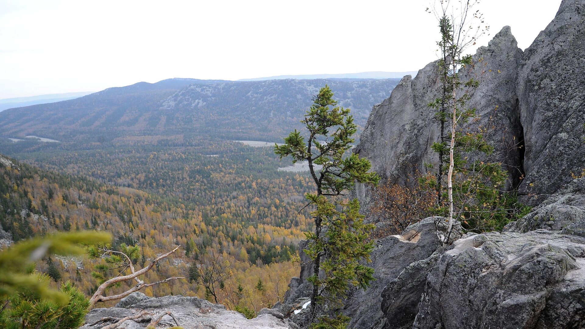
MOSCOW, December 14 A technique for automated mapping of tree vegetation in high mountains, based on a comparison of data from archival aerial photographs and modern satellite images, was proposed by specialists from the carbon polygon of the Sverdlovsk region. According to the authors, the study will make it possible to objectively assess the characteristics of the appearance of new trees in previously unforested areas, depending on the influence of the environment. The results were published in the journal Forests.
As explained by researchers from the Ural Federal University (UrFU) and colleagues from the Ural State Forestry University (UFTU), woody vegetation in the highlands, near the upper limit of its growth, is a sensitive indicator of climate change. Therefore, mountain ranges in different regions of the Earth are considered by scientists as areas for studying the early response of vegetation to regional climate change.
Ural scientists, based on a comparison of archival aerial photography data and modern satellite images, assessed the patterns of formation of areas of clearings, open forests and forests in the transition zone between forest and tundra, depending on climatic conditions.
The university noted that the use of this methodology for study areas within different mountain ranges allows us to eliminate the subjectivity of quantitative assessments of the dynamics of woody vegetation and make correct comparisons of how and at what speed they occur in different regions of the Earth.
“
“The uneven heating of the slopes by the sun and the peculiarities of the hydrological regime of the study area are important factors that influence the formation of more or less favorable conditions for the growth of woody plants. The action of these factors creates conditions that determine the distribution paths of trees into the mountain tundra,” said Valery Fomin, vice-rector for research and innovation at USFTU, research fellow at UrFU.
He added that as a result of the redistribution of snow across areas, depending on wind speed, terrain features and other obstacles, areas with insufficient or excessive accumulation of snow are formed. The first can often lead to the death of young plants due to exposure to low temperatures due to the lack of protection in the form of a snow blanket, the second can lead to a shortening of the growing season in such areas.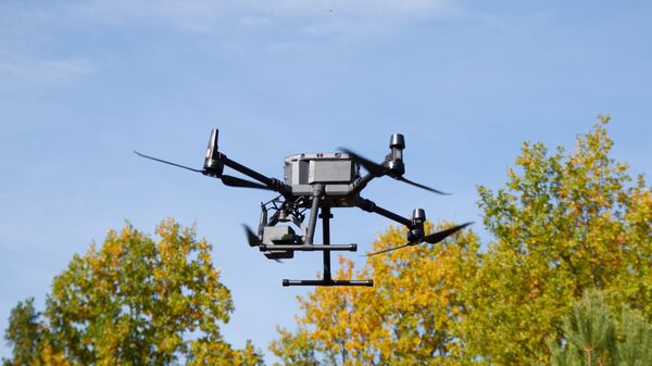
1 of 3

2 of 3

3 of 3
1 of 3
2 of 3
3 of 3
The scientist especially noted that the advantages of the developed methodology include a high level of objectivity of the results obtained.
«Our approach, in addition high level of automation and objectivity also allows you to localize areas on the map with different intensity of transformation of some communities into others. When working, modern methods of processing, data analysis and modeling in a geographic information system are used,» Fomin explained.
He added that the created tool could help other alpine vegetation researchers evaluate changes that have occurred over decades in their areas. And these data can be correctly compared with the results of studies in other regions.











Свежие комментарии